Treasure Mountain W0C/WE-007 via Yule Pass
There are few simple peaks in the Elk Range I’m learning, and Treasure Mountain ranks up in difficulty with the rest. It’s not a classic peak by any measure, but it is a formidable summit with great views and I’m glad I went up there – once.
It’s the ham14er weekend, one time of year I get a full day to myself go out and “play radio” on a summit. The weekend overlaps with an annual family trip we’ve been making to various mountain towns of Colorado and this time we found ourselves in Basalt, just outside of Aspen near the Elk Range.
I’ve activated all the Elk range 14ers, so I looked around to what else I could get into for a long day. I narrowed in on a 10-point peak within an hour drive of Basalt with a reasonable approach, and settled on Treasure Mountain. It’s the high point of the Raggeds Wilderness Area and lore has it that there is a sizeable amount of gold buried on the mountain by a French expedition that was hunted by Native Americans. Keep your eyes peeled if you venture up there. Alas, I probably didn’t find the gold…
There’s no established trail up Treasure Mountain, so I’d have to find my own way. I’d be arriving from the town of Marble to the west, so I started looking at topo and satellite maps to devise a plan to summit. There’s a Bible camp just below the quarry, and it appears that there’s switchbacks going up to Whitehouse Mountain from there, so that was my initial plan. The night before I set out, I changed up the plan and decided to leave from the Yule Creek Trailhead (trail #2083). I didn’t want to trespass on a kid’s camp, and hiking an established trail for a bit sounded like a good option.
At around 10pm the night before, I dropped a pin labeled “This Ridge” at 39.02639, -107.13900. That seemed from the satellite and topo imagery to be the best option for a ridge to hike up to get to the summit, so I’d take the Yule Pass trail until I was just south of the ridge and push my way up aiming at that marker.
Easy.
I got to the trailhead at 6am, and was greeted with a light drizzle and thunder clapping in the distance. Not a great start.
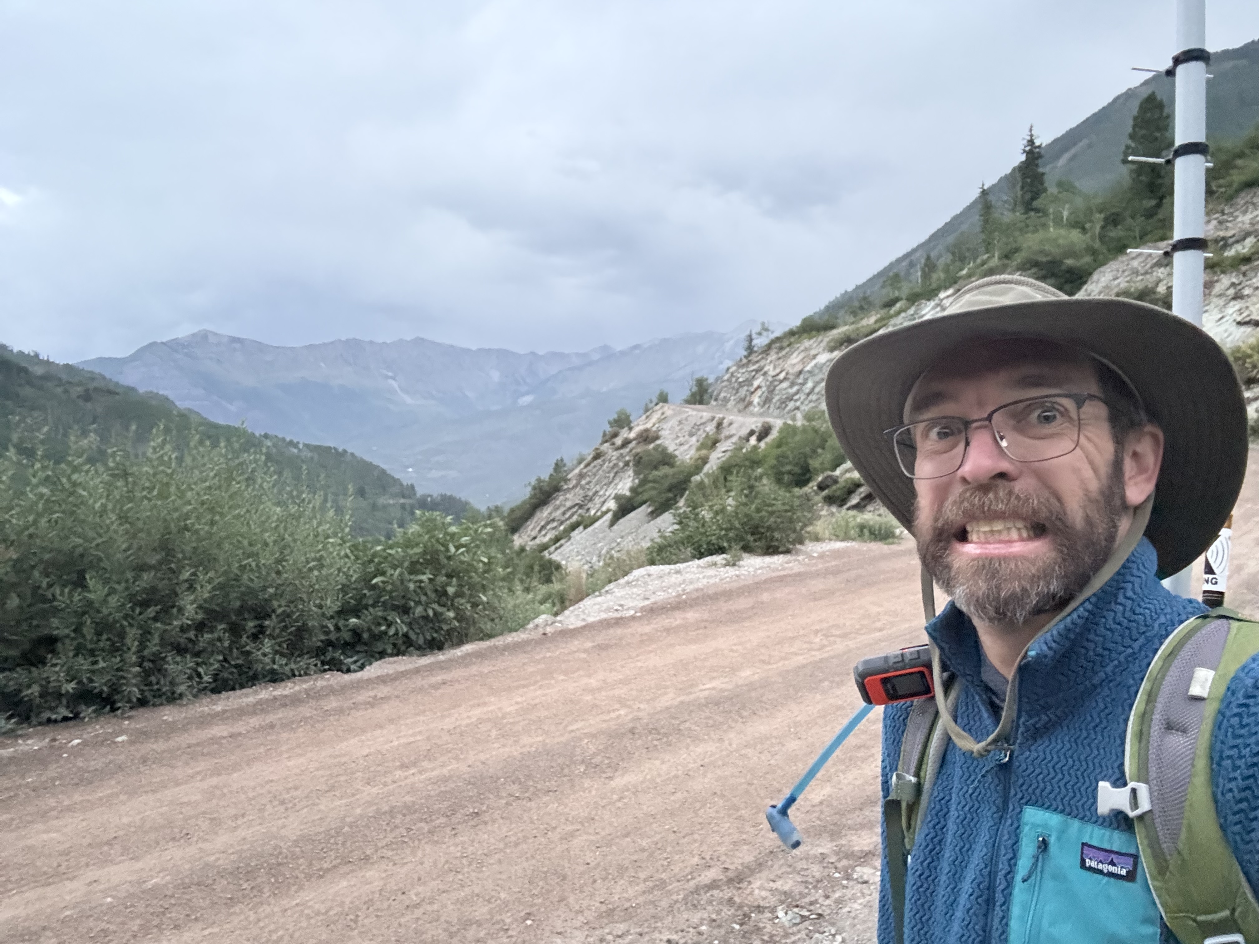
Anxious at the trailhead
I pushed on. The trail felt like walking straight up a flight of stairs given the early hour and my distinct lack of sleep. Did I mention I have a two year-old who is just potty training, not to mention a pregnant wife? There’s a reason I don’t ask for many days to myself.
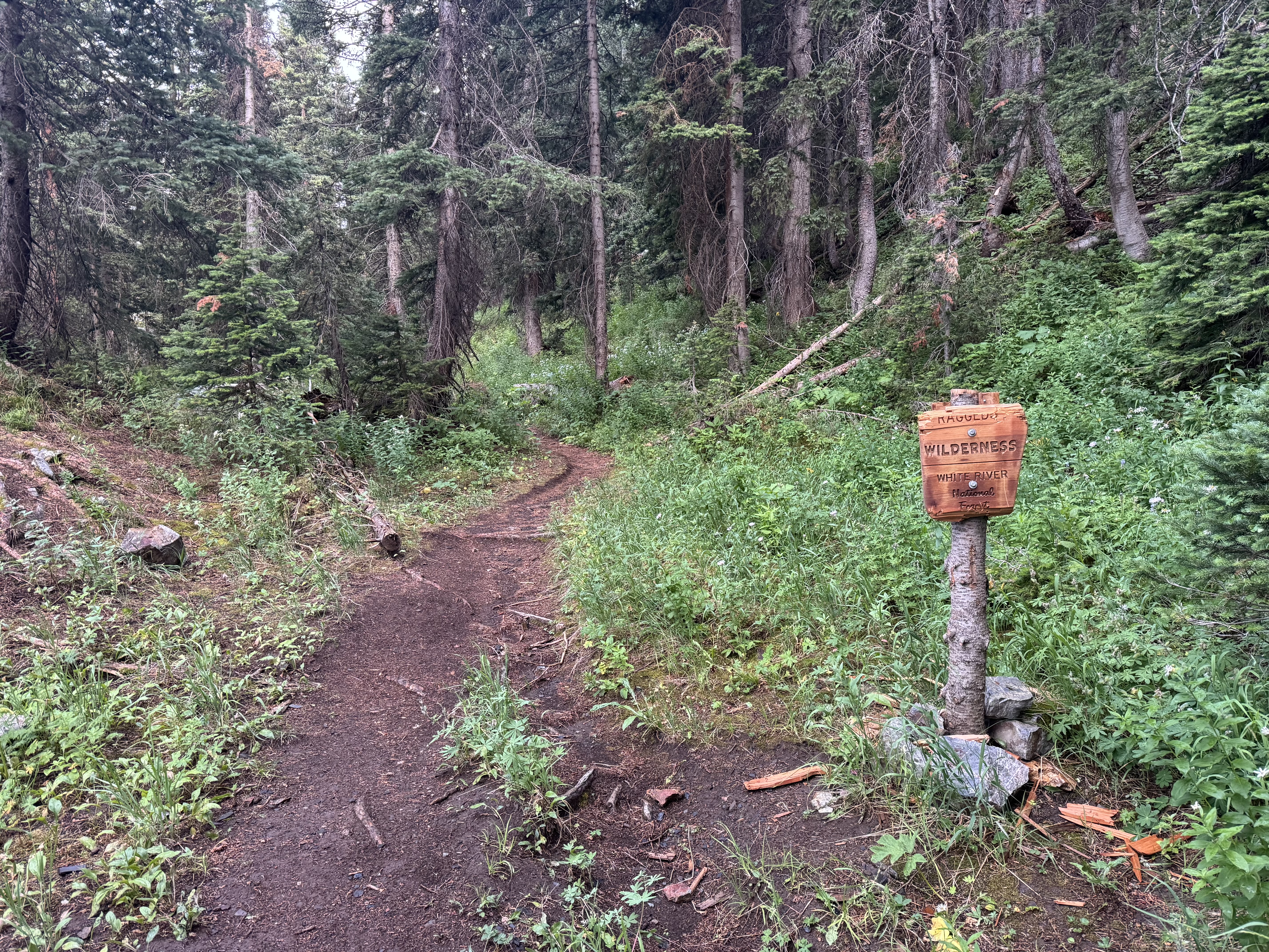
Wilderness Boundary
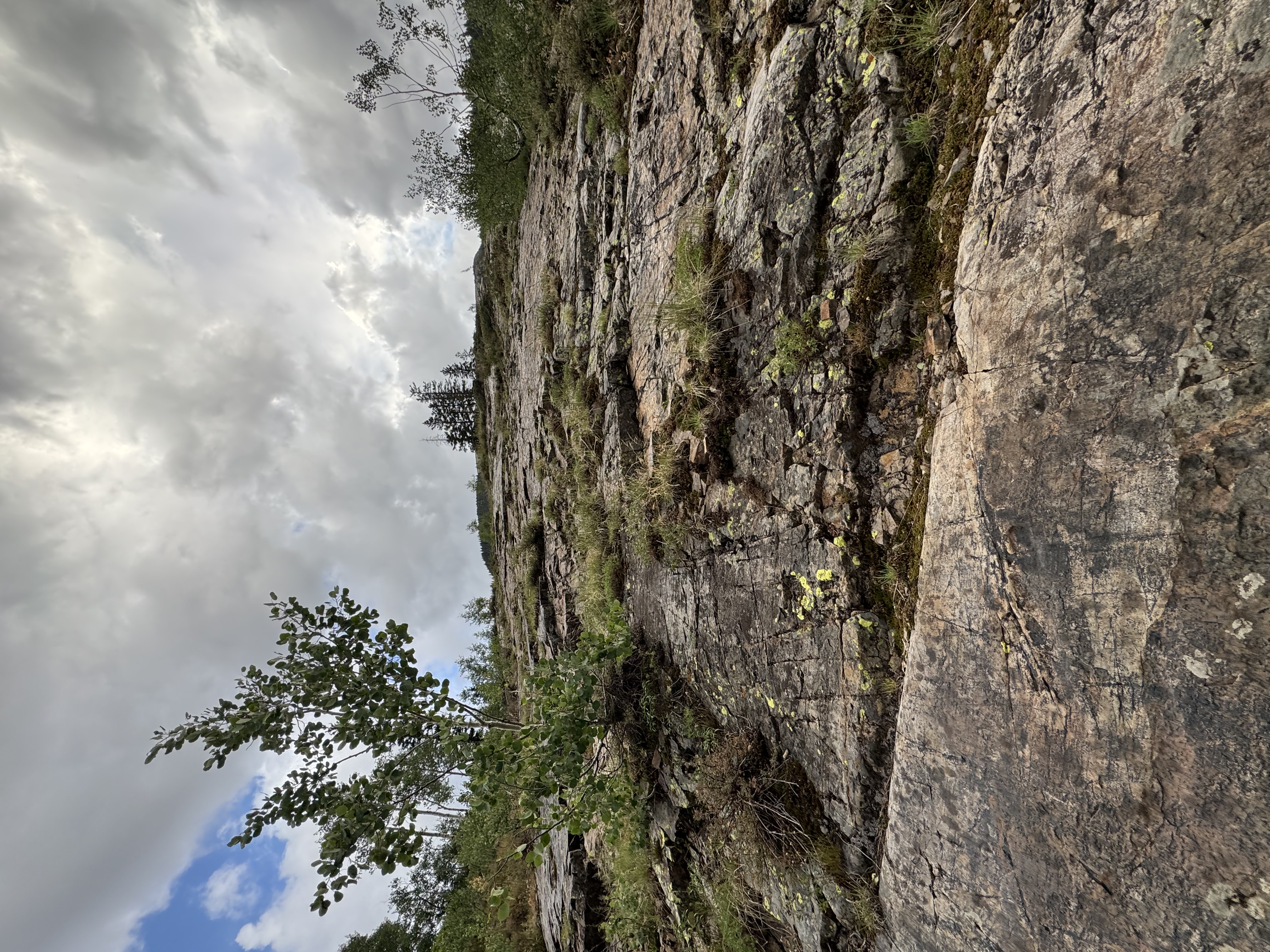
I passed some old mining remnants, including an old boiler from who knows when.
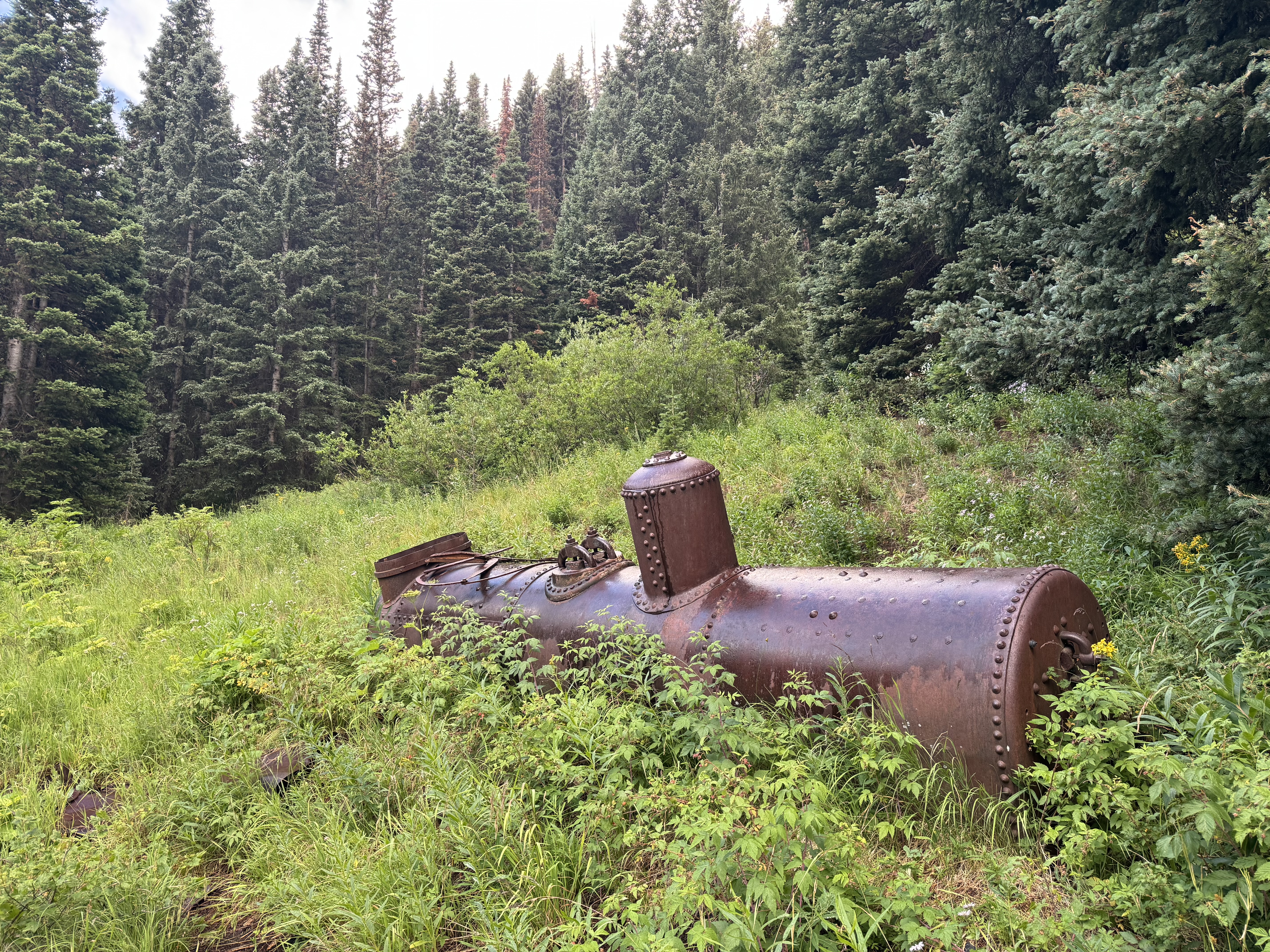
Boiler
The trail mellowed out a bit, just above Thompson Flat. Of course one has to drop ~400 vertical feet to get to the Flat, just to point upwards and regain all that elevation. And then regain that same 400’ on the hike back. But that was a problem for Future Dave.
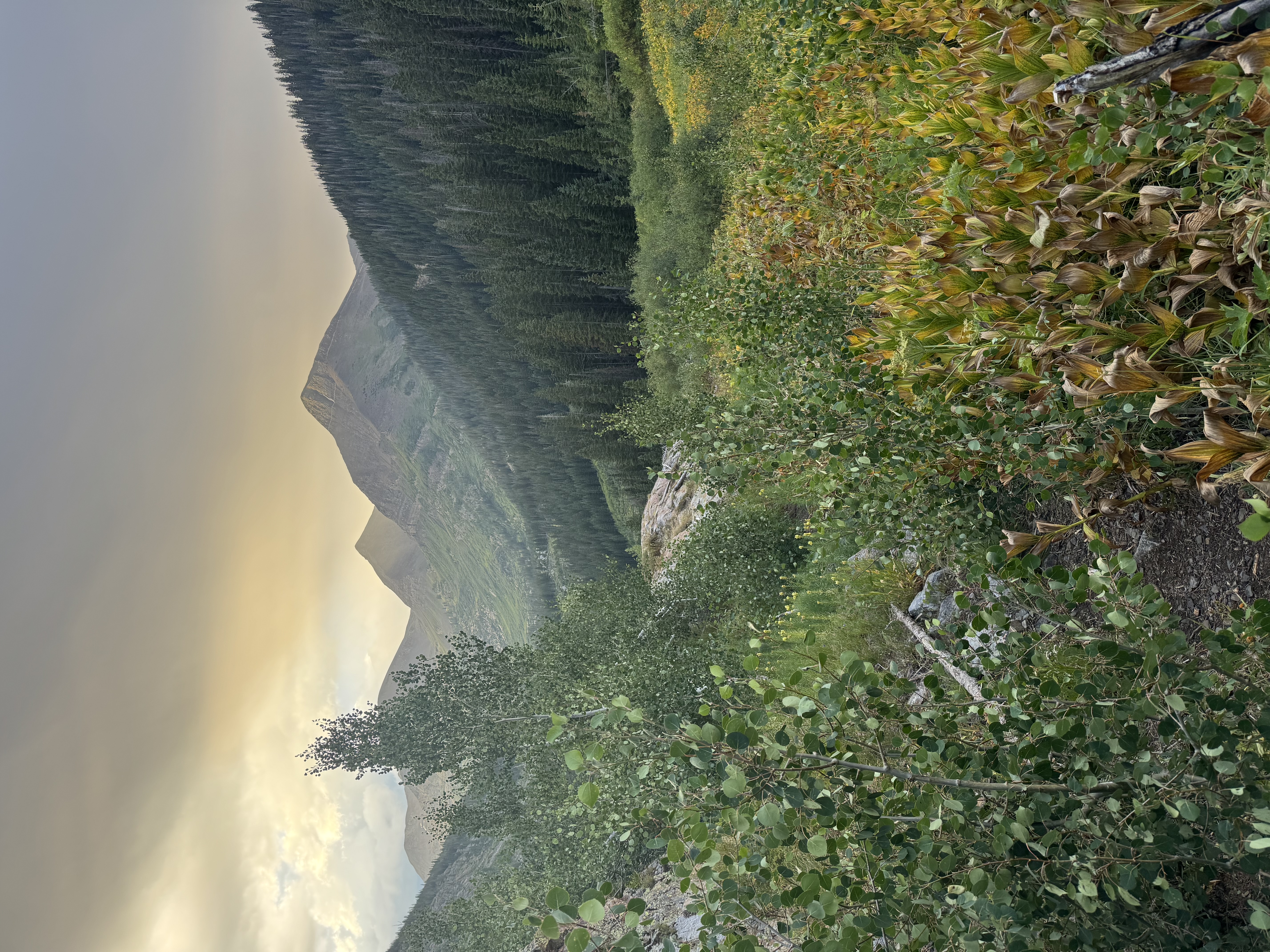
Sunrise above Thompson Flat
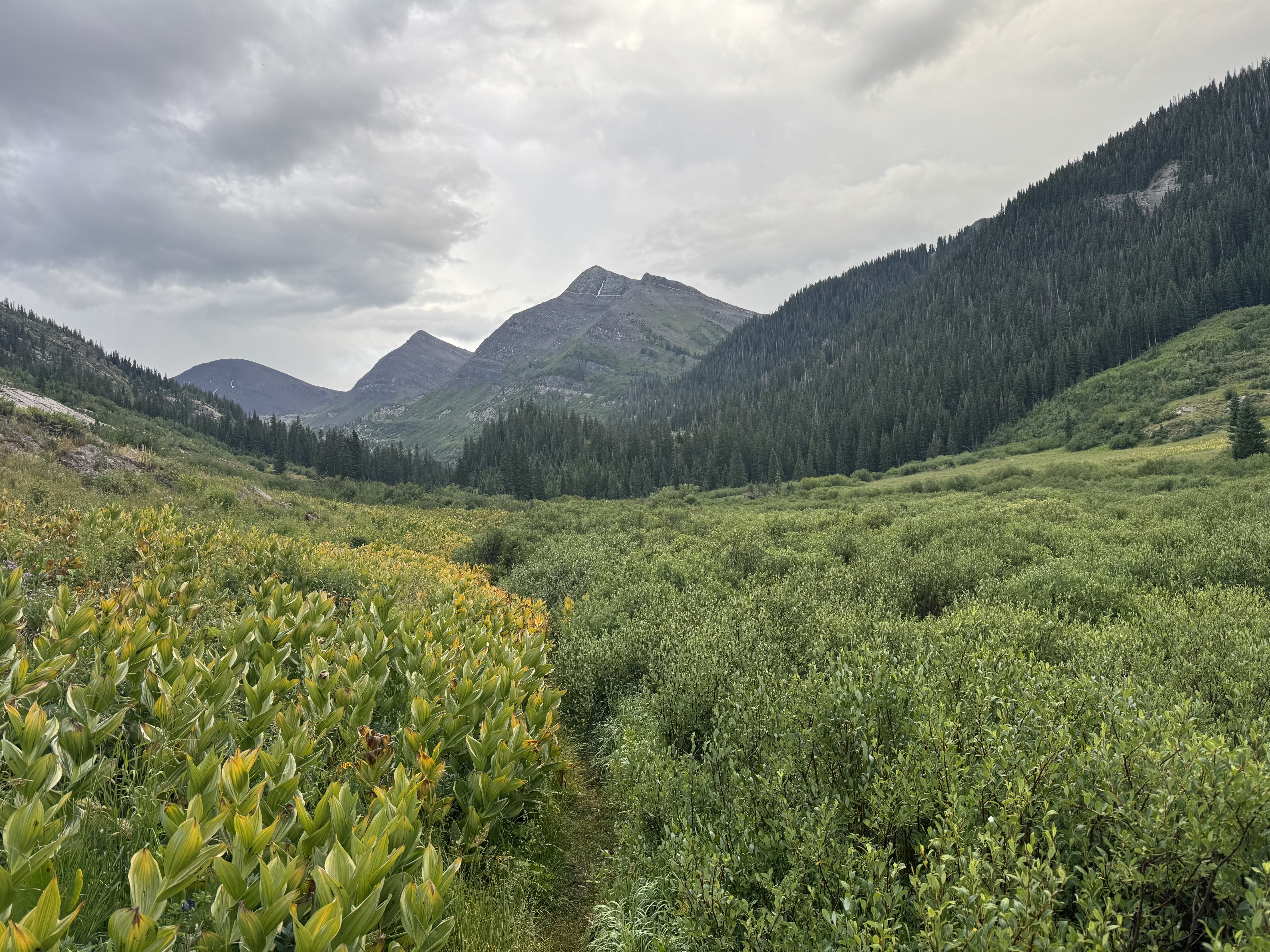
Thompson Flat
After reaching Thompson Flat I looked for an opening up to the ridge I was eyeing as my approach to the peak. There were some aspen growing on the hillside that I was hoping to avoid, so I pushed up just to the east. It was tough going.
Off-trail, going straight up
The weather was scattered rain, and the ridge alternated between tall grass, trees, and scree field. But always steep, going straight up.
Scree field showing trail incline
Looking down the 'trail'
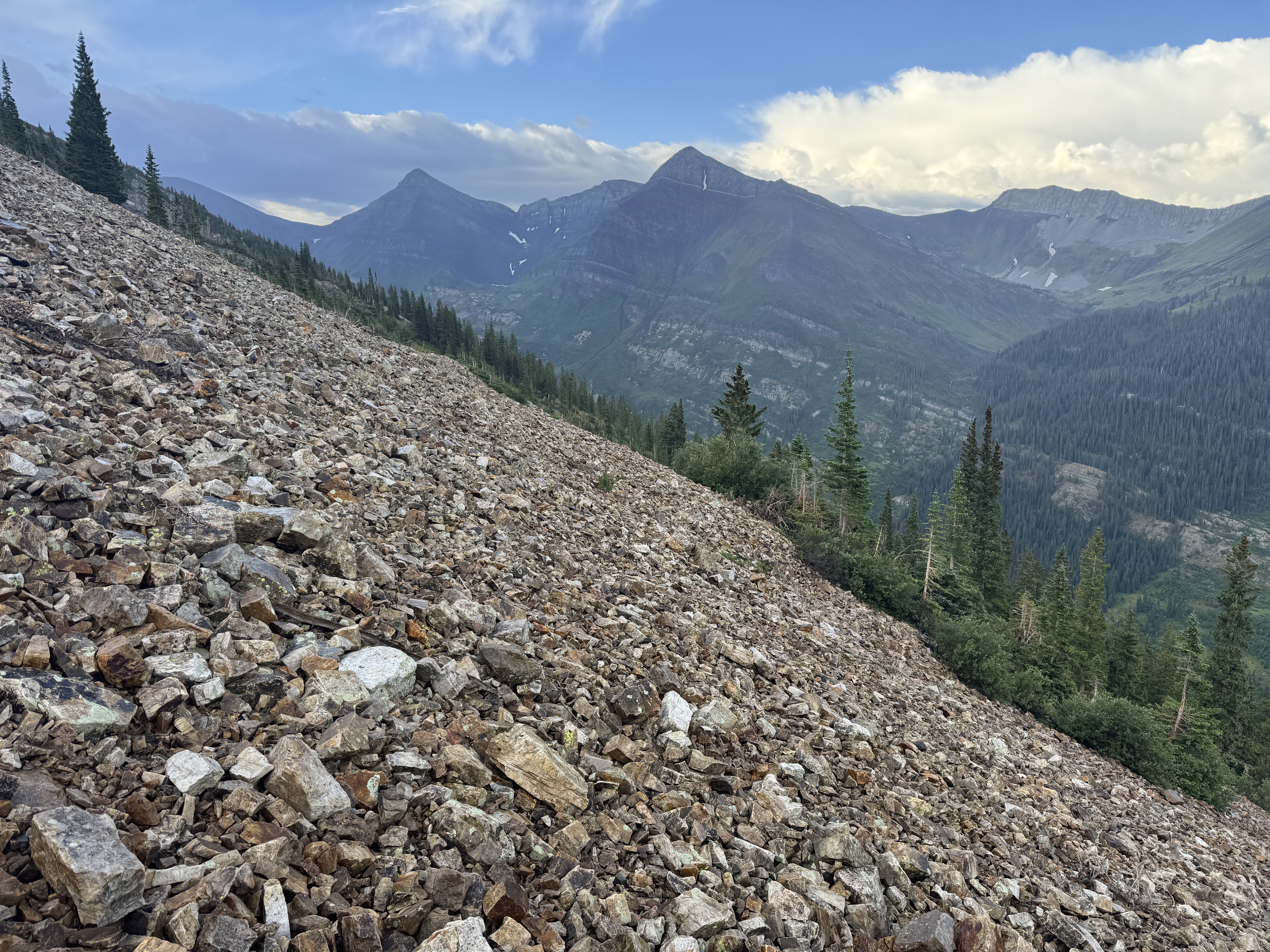
The route up from Thompson Flat to the summit is 1.5 miles and 3,800’ of vertical gain, making for a ~45° slope or greater for what seems like forever. I usually gauge about an hour per thousand feet of vertical when hiking, and that was spot on. If you ever wondered how long it could possibly take to hike a mile and a half, Treasure Mountain is a good test.
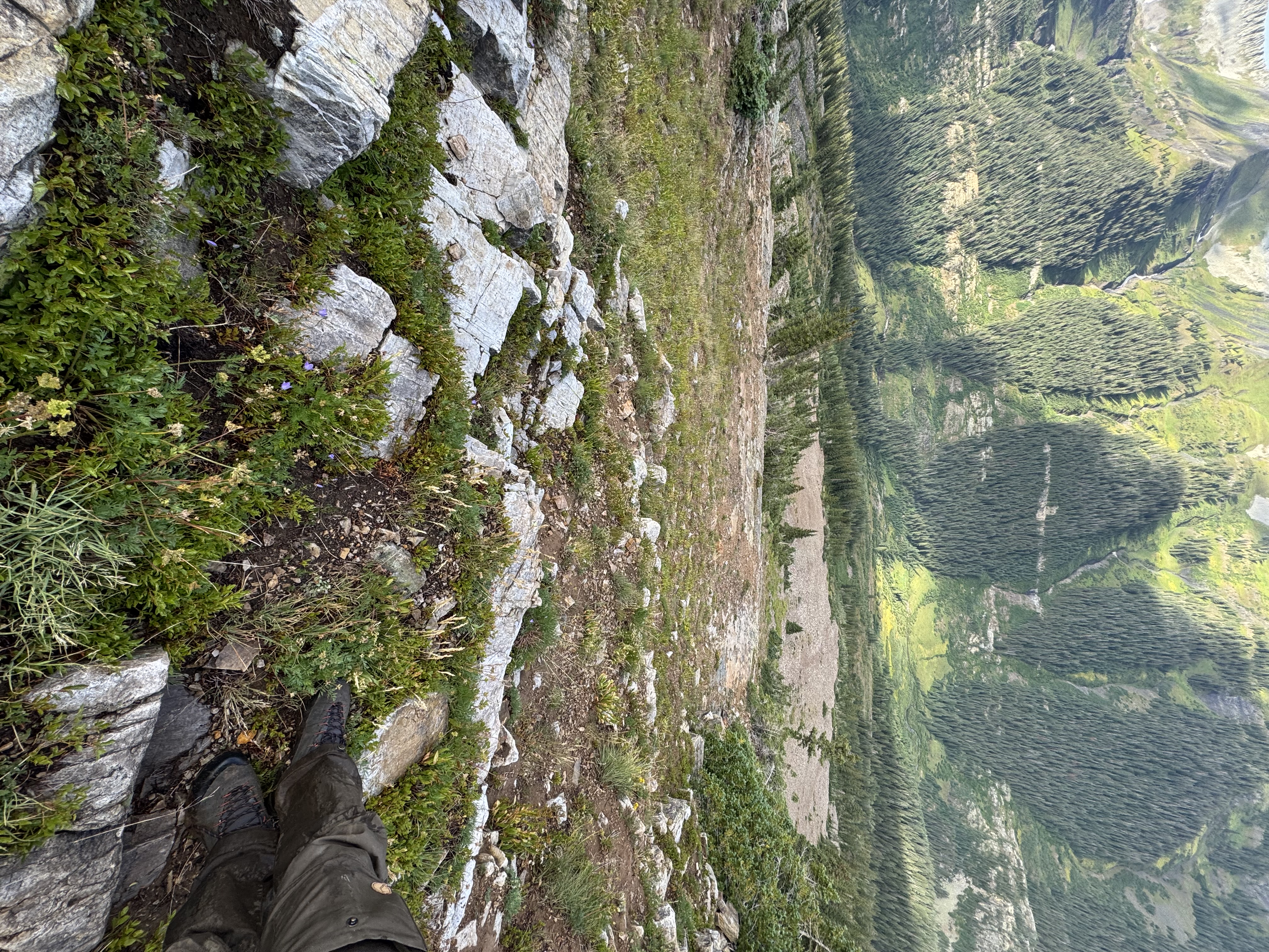
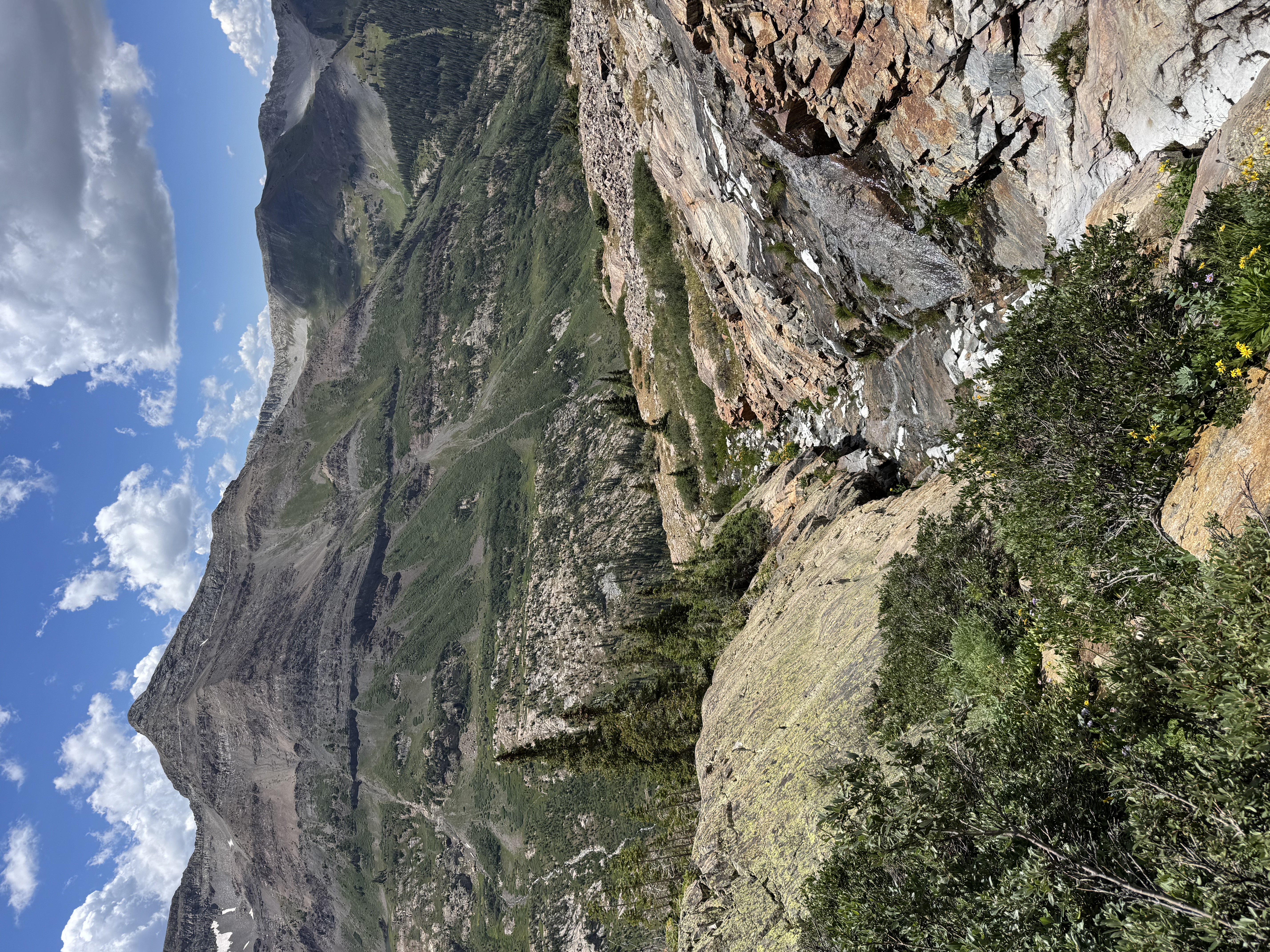
Once I gained the ridge, I got my first view of the northmost of the Yule lakes.
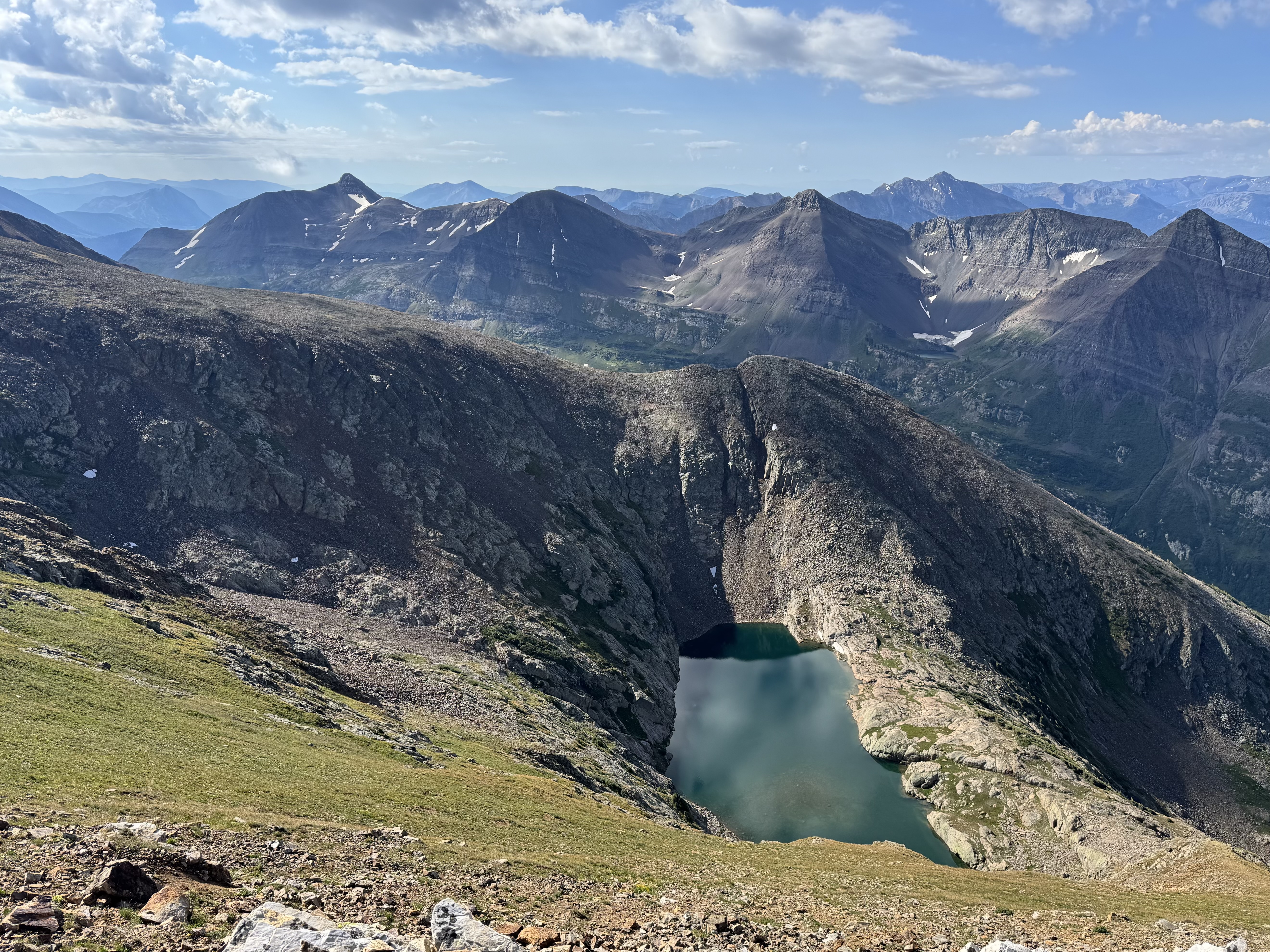
NW-most Yule Lake
As I gained the summit ridge I got a good view of the top of the mountain. The weather was clearing and turning favorable for a nice summit stay, so I was quite glad! I don’t mess around with lightning on summits, and I hadn’t heard thunder since around 8am or so. I pushed on to the top.
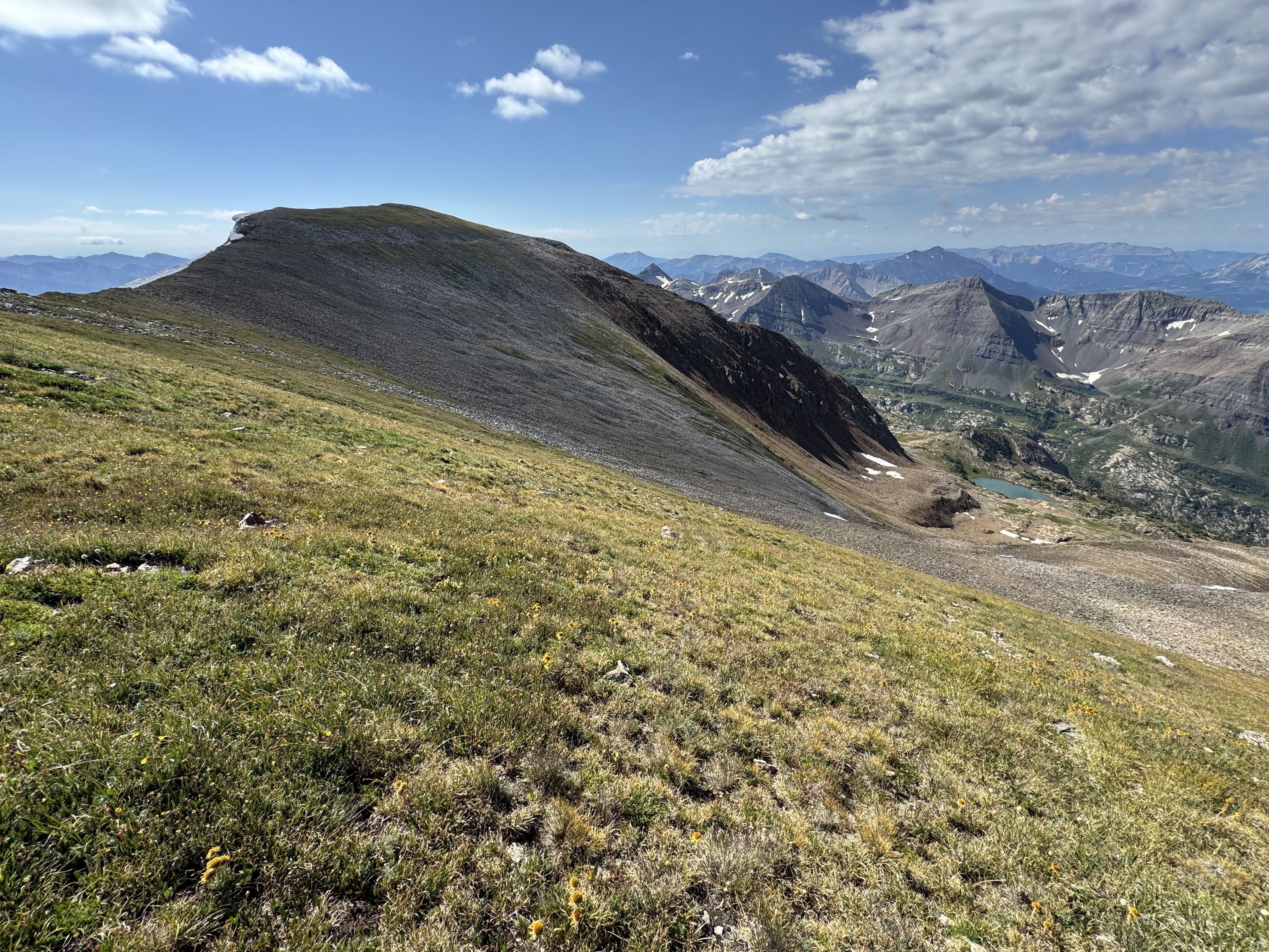
Treasure Mountain summit seen from the northwest
I made the summit at 10:10, just about four hours after setting out from the trailhead. Not bad!
I immediately set up my HT to jump on 2m. I made contact with Walt W0CP off Monarch Pass quickly. I worked a few other stations, and eventually got on with Bob K0NR and Joyce K0JJW on Little Puma W0C/SP-128 after some radio trouble. I could hear them 5x9 but got iffy signal reports from them and W0BV. We tried to make contact with on 1.2Ghz without success, but that’s not very surprising given the mountains we had in between us. Still, it was worth a shot!
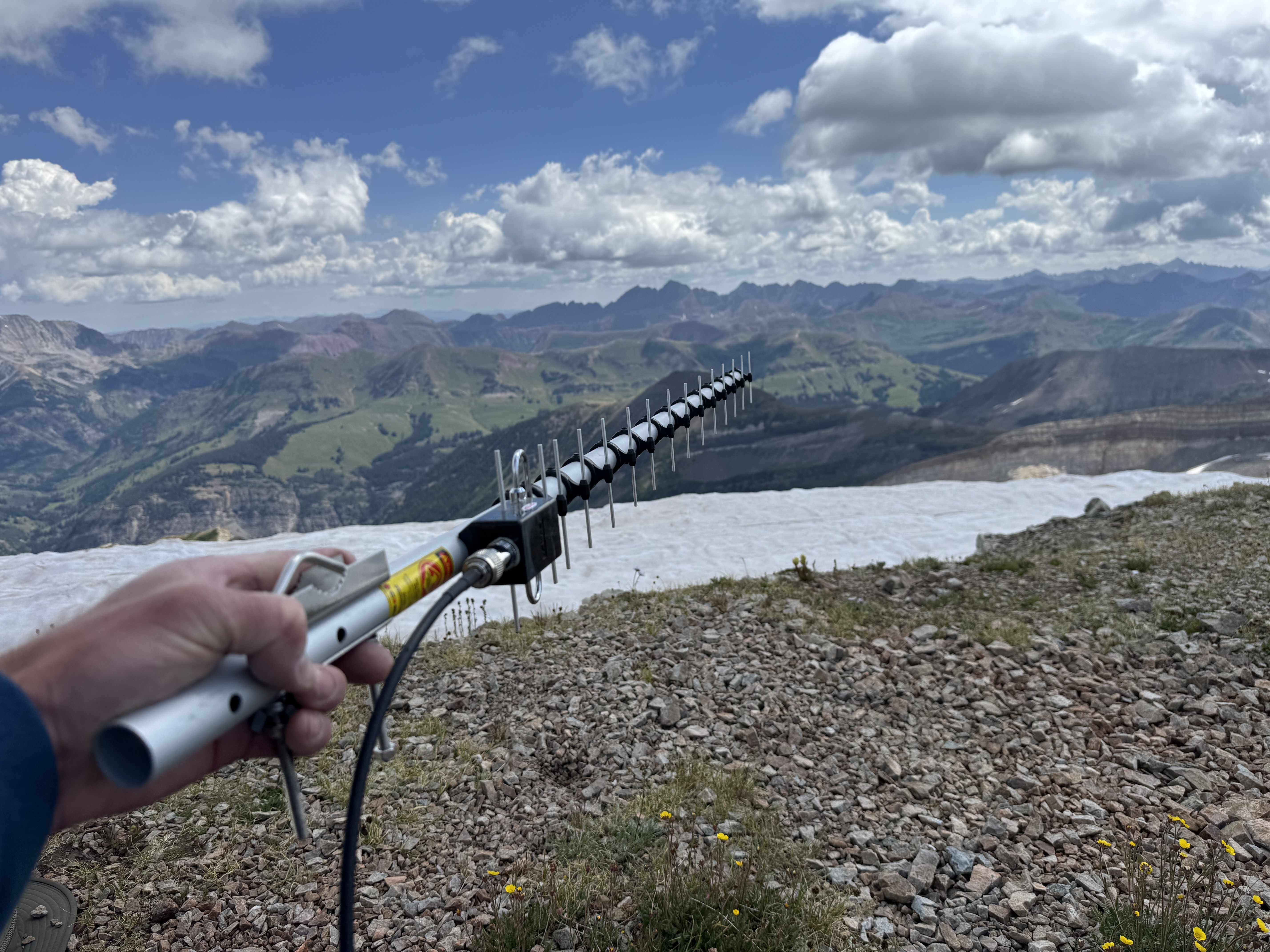
23cm Yagi-Uda pointed to the mountains
I worked some more 2m stations and then set up and worked HF. The bands were mostly dead, but notably I did get some NVIS contacts on 40m including N8XMD and KF0JTT on W0C/UR-028 outside of Montrose.
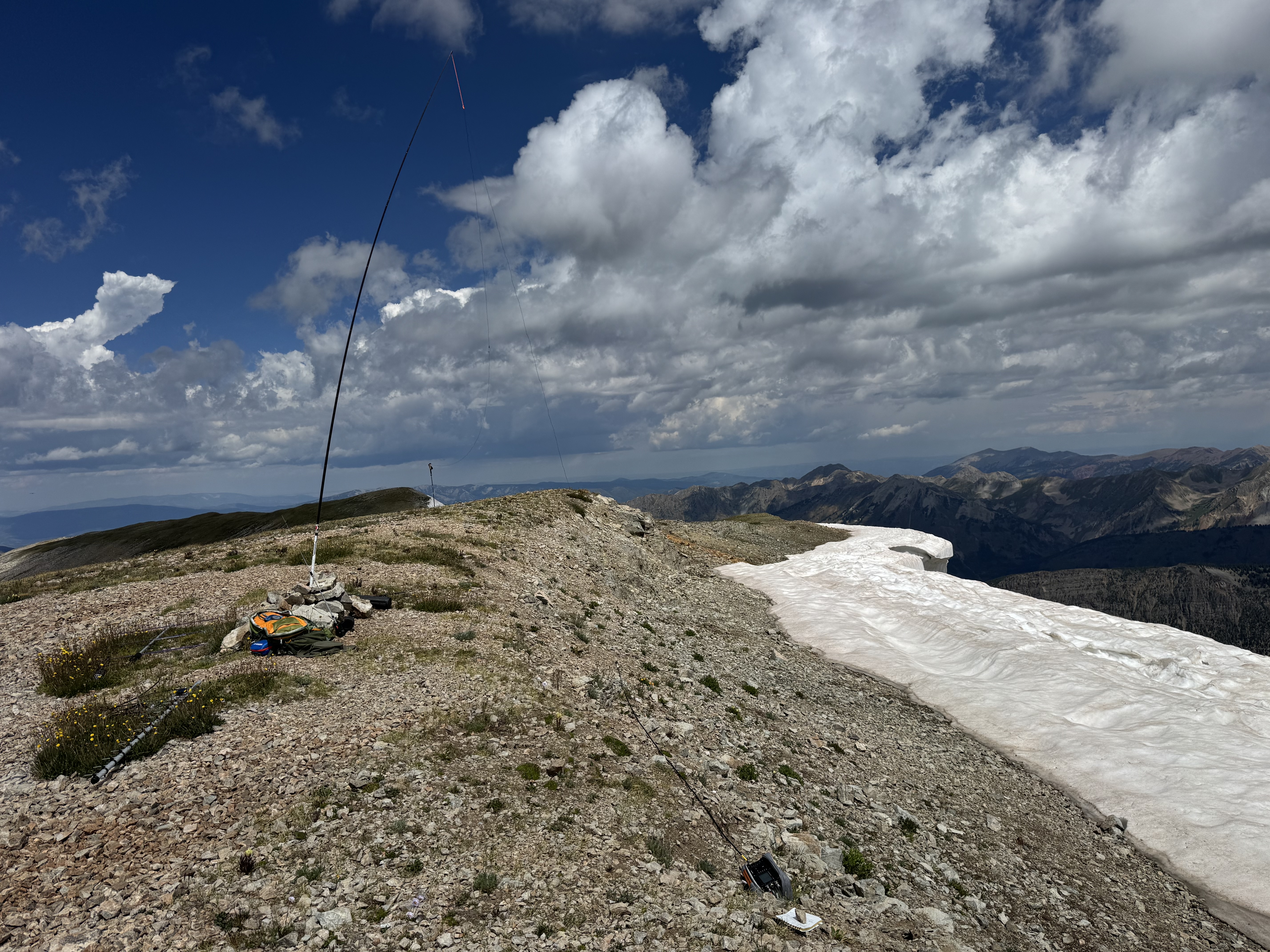
HF station set up on the summit
I stuck around for a selfie and some staged shots. Given the remote nature of the peak there was unsurprisingly nobody else on the summit to take my photo.
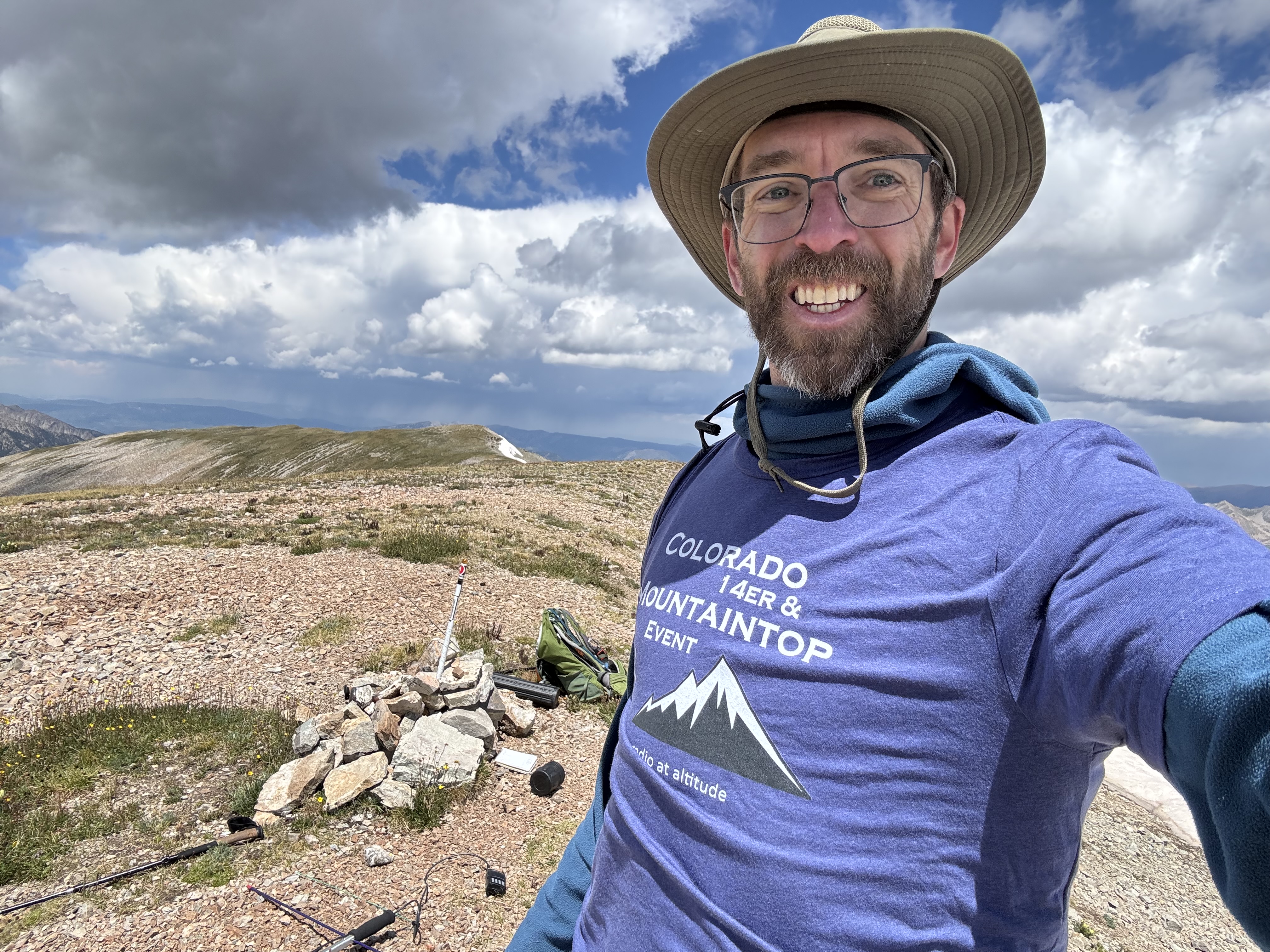
Summit selfie wearing a new shirt!
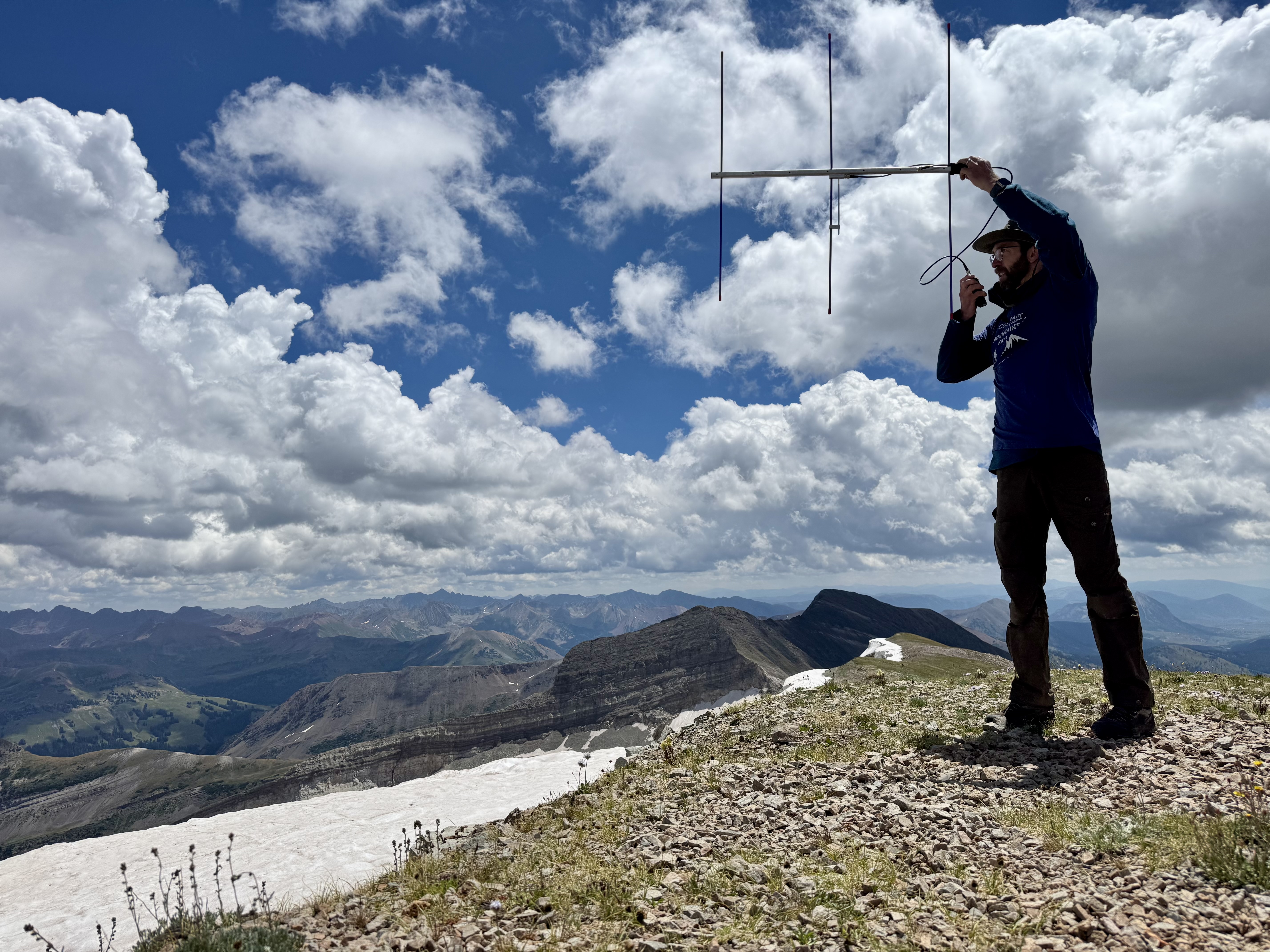
Dramatic reenactment of W0ADV operating a 2m Yagi-Uda on the summit
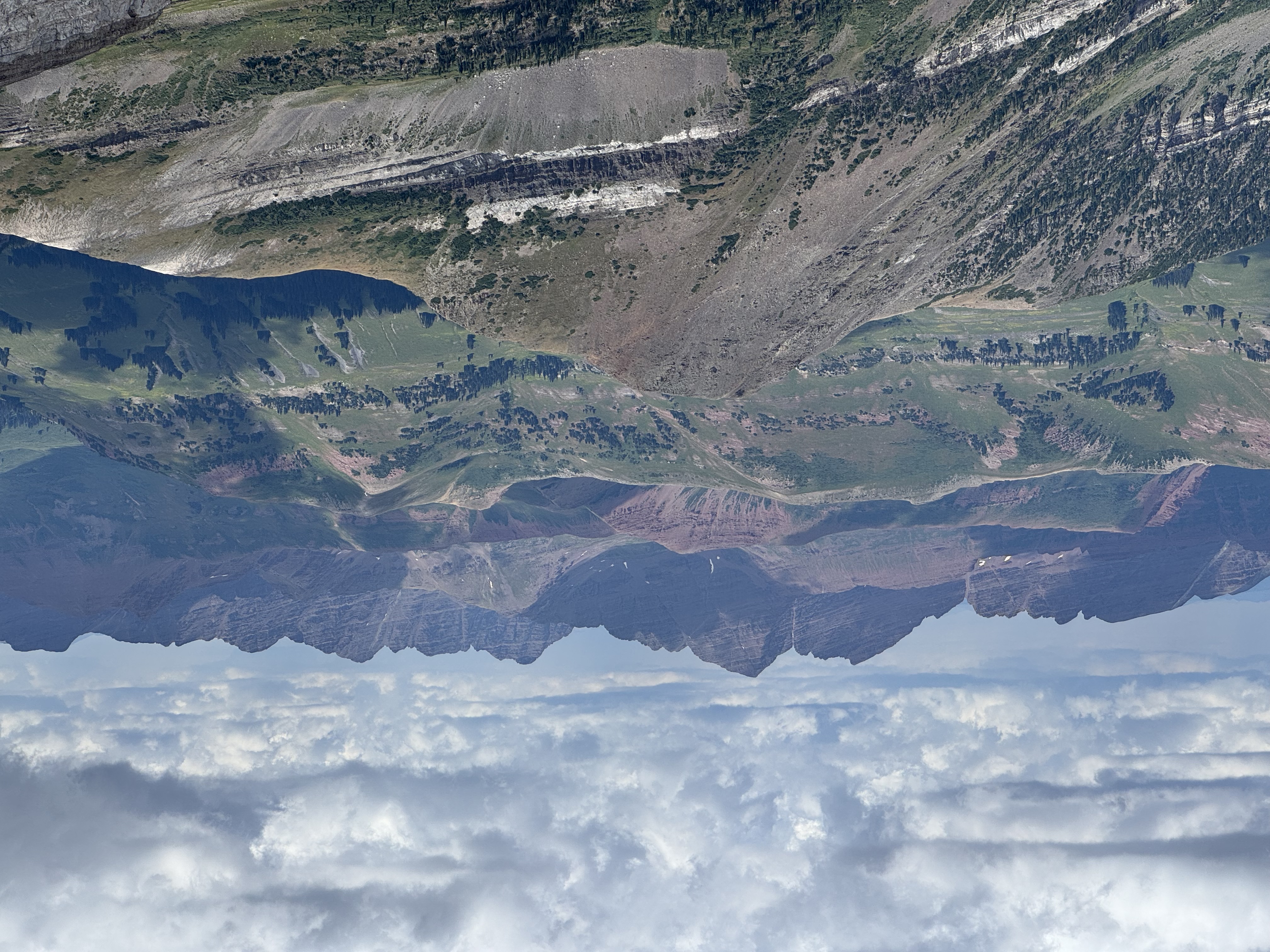
Maroon Bells from a new angle
I left the summit at 12:15 or so, two hours after reaching it. Clouds had begun to gather and I didn’t want to see what they developed into.
Given the treacherous route up, I decided to take a different ridge down. I targeted the biggest of the Yule Lakes and looked for a path that didn’t cliff out. I did get into a few hairy spots that required side-stepping rock bands here and there, but nothing over class 3—just good route finding off-trail.
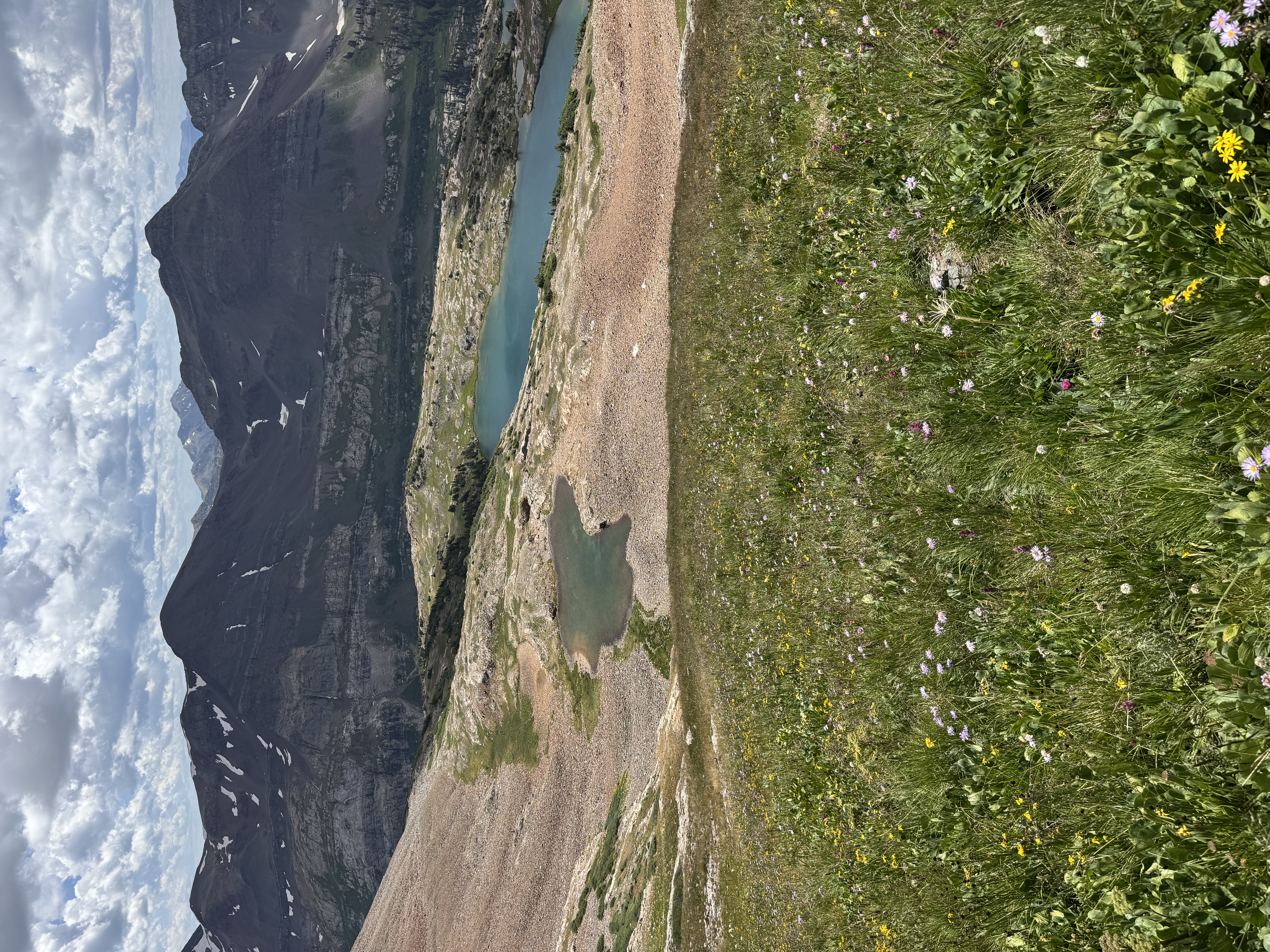
Yule Lakes from above
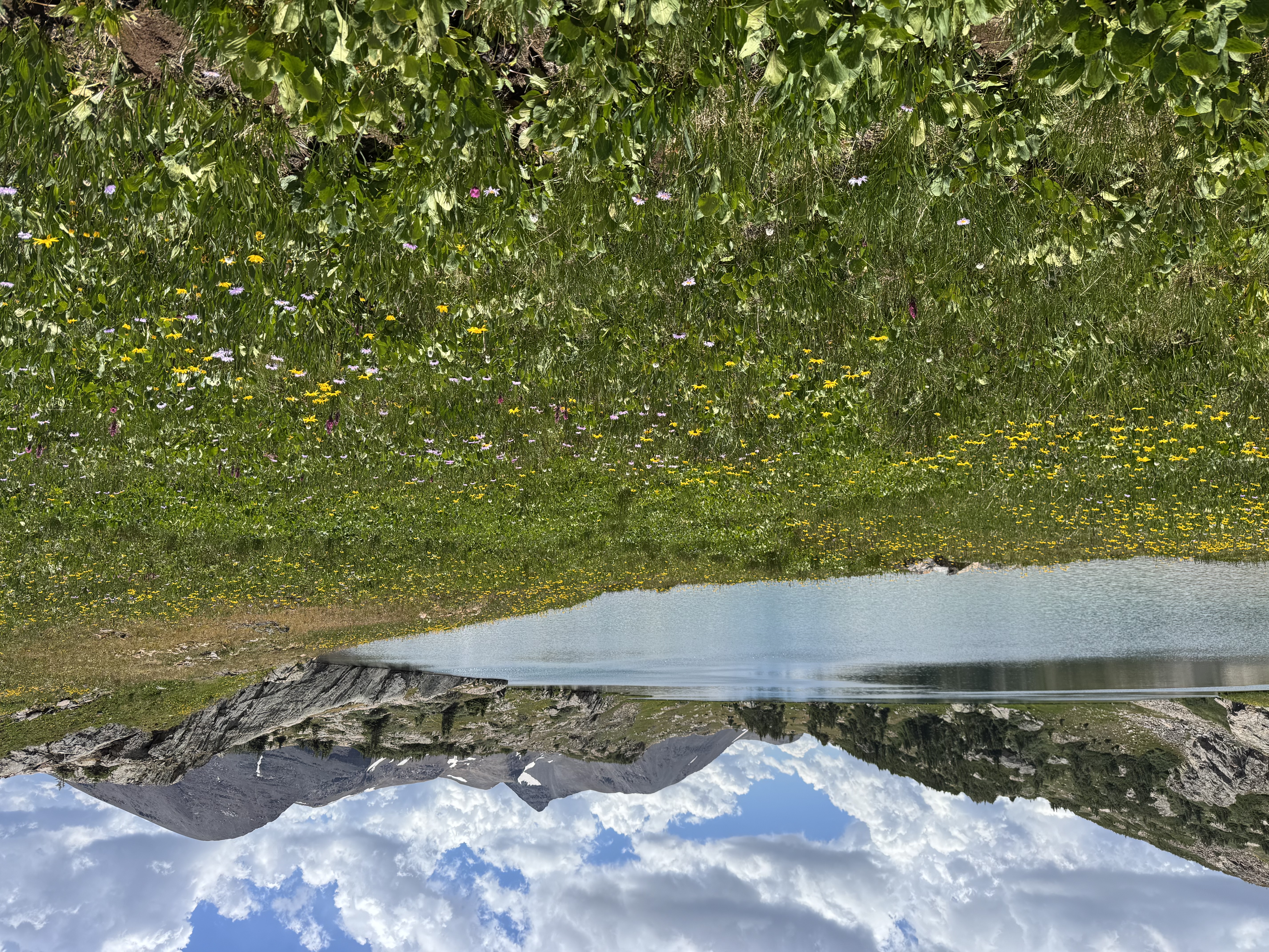
Wildflowers at Yule Lake
I wound up following a drainage out of the Yule Lake group which worked out just okay. I think most people approach the lakes from the Crested Butte side, but I can’t comment on that.
Yule Lake drainage - my trail down
The route down took almost as long as going up, what with the route finding, scree-skiing, and my aging knees and feet. I made it back to the car just after 15:00, for a 9 hour day. Not bad at all.
Treasure Mountain is not in my top 5, but it’s a worthy, if formidable outing. Only those with the best of map reading and off-trail skills should even look at this as a SOTA peak. It would be worth a long weekend to camp at the Yule Lakes if approached from the CB side, but even that would be quite an adventure.
My phone crapped out on the way up, so the GPX has a straight-line jump in it, but the timestamps are correct.
Please, please know that there is no defined trail up Treasure Mountain, and this track is for informational purposes only. Do not use this as a trail guide without lots of research and off-trail travel experience!
- 9.3 Miles
- 5,180 feet of vertical gain
- 9:01 Total time, 6:36 Moving time
- One SOTA summit at 13,535
- GPX Track